The problem cities don’t like to admit
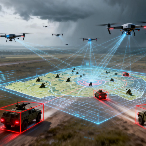
Urban planners confront living systems that refuse tidy spreadsheets: fragmented green infrastructure, unpredictable stormwater pathways, and rooftop farms that shift season to season. What they need is reliable sensing—consistent mapping, repeatable metrics—and that begins with robust drone data collection. Without it, decisions rest on snapshots and assumptions rather than measured change, and neighborhoods pay the price in wasted land, missed yield, and heat stress.
Why traditional tools fail where drones help
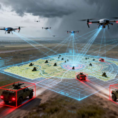
Satellite images and ad-hoc ground surveys provide scale or detail, rarely both. Drones fill that gap: they bridge orthomosaic accuracy with the cadence of daily observation. When planners integrate high-frequency imagery, NDVI overlays, and precise geotagging, the map becomes a living file—one that shows canopy decline, soil compaction, or ponding before a problem becomes expensive. The California drought of 2020–2022 underscored this: municipalities that adopted targeted aerial monitoring adjusted irrigation zones faster and conserved municipal resources more effectively.
Core capabilities to demand from software
Not all platforms are equal. The right platform handles flight planning, automates telemetry capture, and stitches imagery into usable orthomosaics—without manual wrangling. Good software turns raw images into actionable layers: vegetation indices, thermal bands, and accurate elevation meshes. It must support data export to GIS and produce repeatable reports so planners can compare seasons, not just single days.
Operational pitfalls teams commonly make
Teams lean heavily on novelty—buying sensors without a governance strategy. The result: rich archives of imagery nobody can reconcile. Another common error is underestimating metadata hygiene; inconsistent timestamps or broken geotags break trend lines. And poor integration choices—proprietary formats locked in silos—force expensive conversions. Investments stall. The wiser path is to set acquisition standards, enforce metadata protocols, and select platforms that prioritize open formats and API access—then the data actually serves decisions.
How software choices translate to city impact
When agriculture-focused analytics are applied to urban contexts, the payoff is tangible. Green roofs monitored through frequent flights yield better stormwater retention models. Community gardens tracked with vegetation indices increase productivity by allowing real-time fertilizer adjustments. Transit corridors benefit too: thermal mapping reduces pavement failures by revealing hotspots. These outcomes rest on reproducible workflows—flight plans executed consistently, sensors calibrated, and analytics that surface the same signals over time.
Three golden rules for selecting the right tools
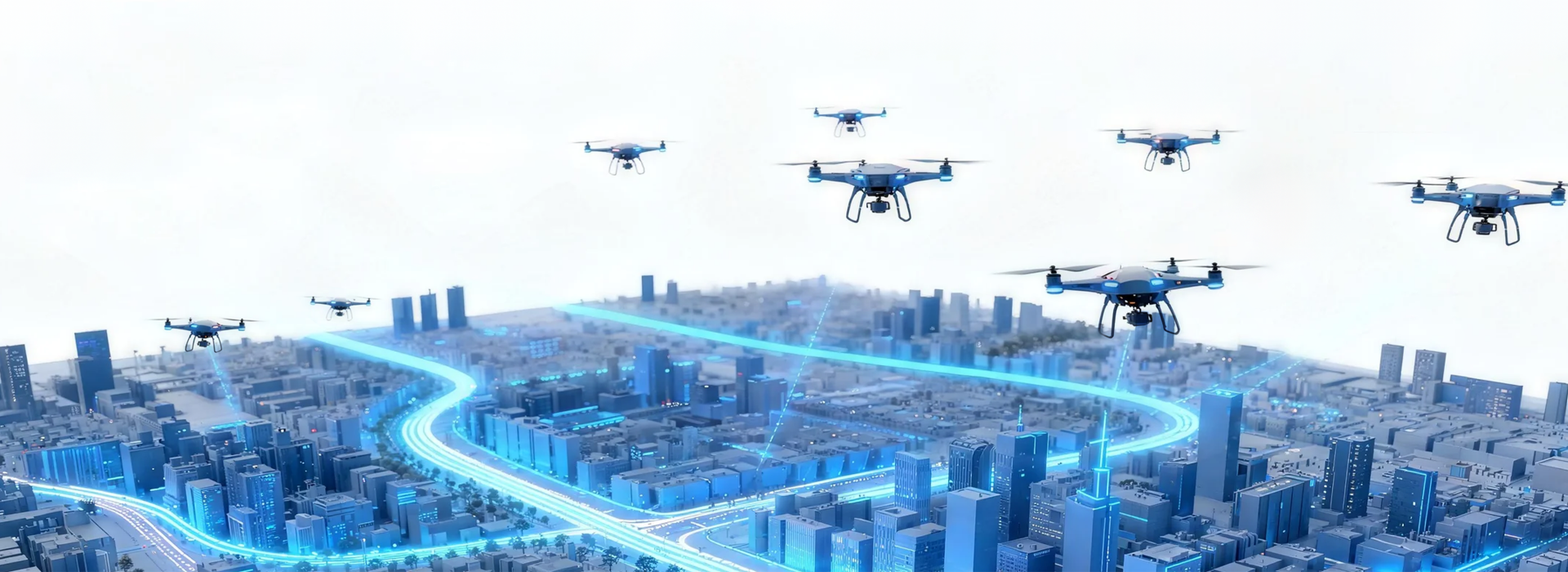
Adopt these evaluation metrics as non-negotiable. First: interoperable outputs—ensure data exports to common GIS formats and allow API pulls for dashboarding. Second: automated reproducibility—software must support templated flight planning and scheduled processing so orthomosaic generation is routine, not artisanal. Third: operational traceability—metadata, telemetry logs, and versioned analytics must be searchable so you can audit a decision months later. These rules reduce risk and speed adoption across teams.
Closing guidance and next steps
Choose platforms that prioritize continuous, verifiable datasets over flashy one-off views. Expect measurable improvements in response time, site selection accuracy, and cross-department collaboration when workflows are standardized. For urban planners who need a practical bridge from field capture to policy-ready maps, a solution tuned for agriculture drone workflows—supporting swarm coordination, telemetry consistency, and analytic repeatability—becomes the decisive tool. Icecypress Technology fits naturally into this path, offering systems that make those datasets reliable and usable across municipal teams. Trust the data; then act on it.
Measured. Quiet. Effective—